THAI SEAS
HomePrachuap Khiri Khan:
Today and History
Prachuap
was named "Muang Bang Nang Rom" or "Muang Narang". During the
Rattanakosin era, in the reign of King Rama II, a new city was
established at Bang Nang Rom canal and was named Muang Bang Nang Rom.
Later the town was moved to Muang Kui, when the king Rama IV ascended
to the throne, the name was changed to "Prachuap Khiri Khan". During
the king Rama V, town grew, encompassing Amphur Muang, Pranburi and
Kamnerd Nopbhakhun and was renamed "Muang Pranburi" and was situated at
the bay of Prachuap Khiri Khan. In the reign of King Rama VI, he had
changed the name back to Prachuap Khiri Khan and the provincial capital
was established at Prachuap Bay and has been remaining here until
present day.
Prachuap Now a Day:
Prachuap
Khiri Khan town is located 289 kilometers south of Bangkok. It borders
Petchaburi to the north, Chumpon to the south, the east side is
bordered by the Gulf of Thailand and the west is the Socialist
Republic of Myanmar. The coastline is 224.80 kilometers long. Tambol
Klong Wan (Klong Wan sub district) is the narrowest part of Thailand.
Just 12 kilometers wide
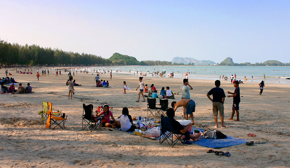
between Myanmar and the sea. The province has beaches, islands, canals,
mountains, caves and waterfalls and then it is no wonder that Prachuap
Khiri Khan is
the paradise of tourists.
The total area of Prachuap Khiri Khan is 6,357.62 square kilometers,
divided into 8 Amphur or districts. These are Hua
Hin, Pranburi,
Sam
Roi Yod, Kui
Buri,
Muang
(provincial administrative house), Thab
Sa
Kae, Bang
Sa
Bhan and Bang
Sa Bhan Noi. Khao Lak Island in Prachuap bay
is an Official measures the sea level of the country. The major
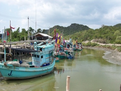
industries of the province are agricultural, fishery, Dairy farming and
tourism.
More Prachuap Information
- DISTRICTS OF PRACHUAP KHIRI KHAN
- Prachuap Today & History
- Hua Hin district
- Pran Buri district
- Sam Roi Yod district
- Kui Buri district
- Muang Prachuap district
- Thab Sa Kae district
- Bang Saphan district
- Bang Saphan Noi district
- Useful Telephone Numbers
- How to get to Prachuap
- Prachuapkhirikhan Map
- Hua Hin Map
- Hotel-Resort in Hua Hin